The Empty Land Myth: What a Blank Map Leaves Out
The empty land myth starts with a quiet map. Learn how scale and map choices conceal seasonal routes, working ground and patterns of occupation.
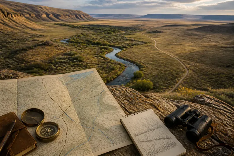
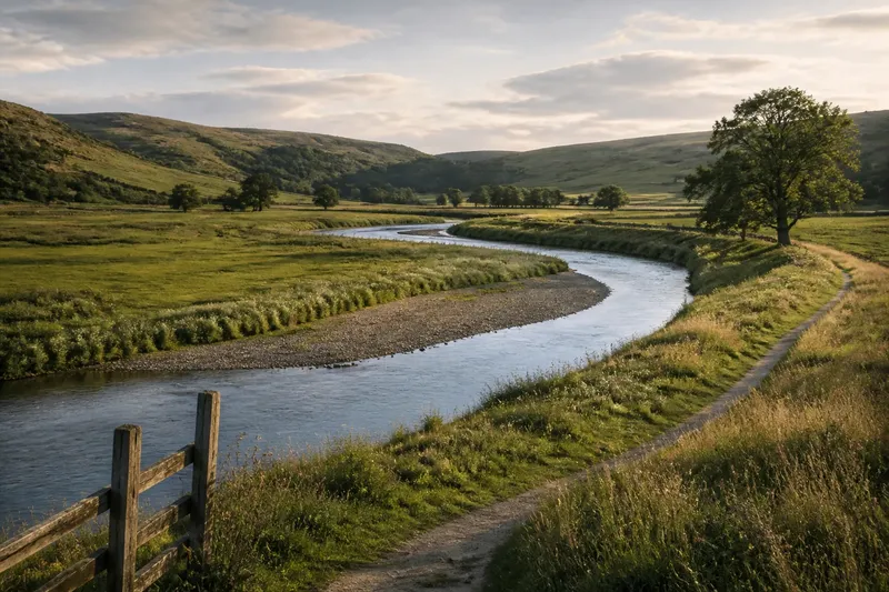
A road crosses a broad patch of pale map, with no buildings marked and hardly a line to interrupt the blank. The empty land myth begins there: a map looks quiet, so the ground must be unused. But a map is a selective picture, and its scale and purpose decide which traces of living and working appear.
In Western landscapes, occupation may be spread across a large area or follow a seasonal rhythm. A water source, a grazing route, a gathering place or a maintained path can matter greatly without producing a cluster of symbols. To read the blank fairly, start with the question you need answered, then choose the kind of map and evidence that can answer it.
What are you trying to learn from the map?
Before judging a blank patch, decide whether you are looking for permanent settlement, movement, resource use or visible infrastructure. These are different questions. A map designed to show roads and towns may be excellent for finding a route, yet say little about how land is used between those features.
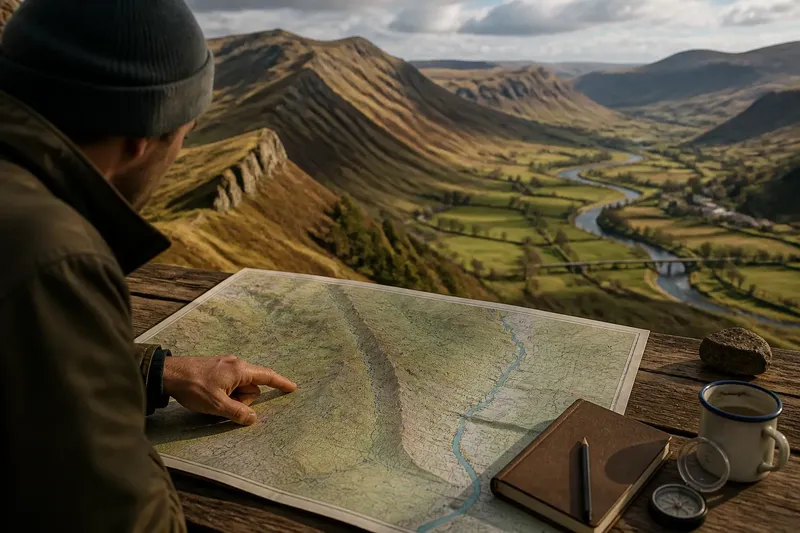
- If you need to understand the broad pattern: begin with a regional map. It can show how a valley, plateau or drainage basin relates to settlements and routes, but it will simplify small features.
- If you need to locate local traces: use a larger-scale topographic map, where minor tracks, water features and relief may be easier to distinguish. Check its legend rather than assuming every faint mark has the meaning you expect.
- If you need to understand change over time: compare maps made for different purposes or periods, where available. A feature absent from one edition may have been omitted, not absent from the ground.
The best map is not automatically the most detailed one. It is the map whose purpose matches your question, paired with other evidence where the question exceeds what that map records.
Does the map’s scale hide what matters?
Scale controls how much ground a map can show while keeping its marks legible. On a regional map, a small spring, a footpath or a scatter of structures may be too minor to include. Even a feature that matters to someone using the place can disappear when many miles of terrain must fit on one page.
Selection adds another filter. Mapmakers choose which features to show, simplify winding lines and sometimes leave out details that do not serve the map’s intended use. A blank area can therefore mean “not represented at this scale” or “not selected for this map”, rather than “nobody uses this ground”.
Look at the legend, publication purpose and surrounding pattern. Are only major roads shown? Are minor waterways missing elsewhere too? Does the map use a broad symbol that could combine several different features? These clues help separate a genuine absence of mapped information from an area that simply falls outside the map’s focus.
Which kind of use might be easy to miss?
Permanent buildings are only one sign of occupation. Some uses leave scattered or seasonal traces: a route followed during part of the year, access to a water source, grazing across open ground, or a place revisited for gathering and work. A map built around fixed infrastructure can show little of this pattern.
Routes also vary in visibility. A maintained road may be mapped clearly, while a lightly used track, a path that shifts with conditions or a route remembered through repeated movement may not appear. Water offers a similar clue: a mapped stream is a line, but the practical importance of a spring, a crossing or a seasonal source may not fit neatly into a standard symbol.
This does not mean every blank patch contains an unrecorded route or hidden settlement. It means that a map alone cannot settle the question. Treat what is drawn as evidence of what the map records, not proof that everything else is unused.
What should you do in your situation?
What if you are comparing two map editions?
Check whether both editions share a scale, legend and purpose before interpreting a change. If a track appears on one and not the other, consider whether the later map omits minor routes rather than showing that the track vanished.
What if you are studying a place with few buildings?
Look beyond settlement symbols to water, relief, access lines and the relation between open ground and nearby features. A place can support movement or seasonal work without a dense pattern of permanent structures.
What if the map is for a specific activity?
Read its title and legend closely, then identify what it was made to show. A road map, land-cover map and topographic map select different features, so use another map type if your question concerns something their purpose leaves out.
What if you need to make a claim about past or present use?
Use the map as one source, then look for other relevant evidence, such as local records, imagery or accounts from people familiar with the area. If the claim affects land access or a formal decision, consult the appropriate local authority or a qualified professional.
How can you test a blank without over-reading it?
Imagine you are looking at a regional map with an empty-looking bench of land beside a stream. You want to know whether it is simply open ground or part of a local movement pattern. You compare a larger-scale topographic map and see a faint path leading towards a water crossing; the reasonable next conclusion is that the first map omitted a small route, not that it has revealed the full history or present use of the bench.
That distinction keeps interpretation useful. Notice what the maps support, record what remains uncertain, and seek another source when the answer matters. For a field visit, follow access rules and observe from permitted places; do not treat an unmarked route as permission to cross land.
It is not worth the effort to search every blank map for a hidden feature or to assign a story to each missing mark. A short check of scale, legend and purpose often explains why the map is quiet. When it does not, the honest answer is that the map leaves the question open.
The empty land myth is easiest to resist when “not shown” stays distinct from “not there”. Keep that distinction in mind as you compare maps, and the blank becomes a limit of the record rather than a verdict on the land.