Why Streams Wind Across Open Ground
Why streams wind across open ground becomes clearer on a slow walk: trace the channel, its floodplain and its boundaries without mistaking one bend for the whole landscape.
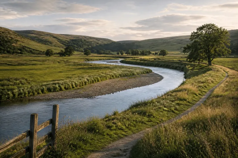
On a quiet walk beside a stream, the water may slip towards one grassy bank, then turn away and curve back across the open ground. Why streams wind across open ground is easier to understand when you follow that movement over time and space: a bend is part of a shifting channel, not a complete explanation of the landscape.
What makes a stream begin to curve?
Water does not travel evenly across a channel. Small differences in its speed and direction can encourage it to erode one bank while depositing sediment along another. As the channel changes, the faster flow tends to press towards the outside of a bend, while slower water on the inside may leave sand, gravel or finer material behind.
That interaction can deepen a curve and make it more pronounced. It is not a neat, self-contained mechanism: the shape of the valley, the stream’s load of sediment, its flow through different conditions and the material in its banks all matter. A stream crossing soft, fine deposits may behave differently from one constrained by gravel or rock.
Vegetation also affects what a walker sees. Roots can help hold a bank together, while bare or disturbed ground may be easier for flowing water to reshape. These clues describe local conditions; none, by itself, tells you the whole history of a channel.
How can you trace the broad pattern in a week?
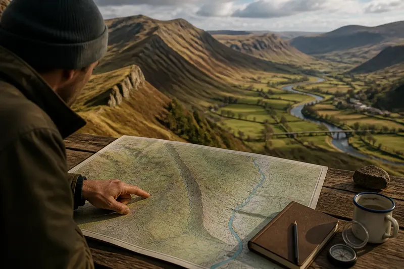
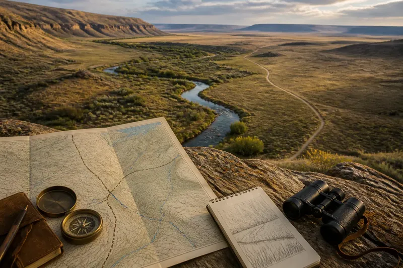
A week is enough to make a careful observation routine, though not to witness the full story of a changing stream. Choose a public path or other lawful viewpoint, and use a paper map or an offline map on your phone to keep track of the reach you are looking at. Stay on firm ground and do not enter the water or approach an undercut bank.
- First visit: At a bend, note which bank forms the outside of the curve and where the channel narrows or widens. Mark the location on your map rather than relying on memory.
- Next visit: Look across the open ground, not only at the water. Record visible bars, low wet patches, old channel-like hollows and changes in vegetation.
- Midweek: Compare the stream with the shape of its wider valley. Ask whether the channel can move freely or whether slopes, trees, walls, embankments or other built boundaries constrain it.
- Later in the week: Revisit your first viewpoint and note any visible differences in water level, flow, bank wetness or floating material. Treat these as conditions on that visit, not proof of a long-term trend.
- Final visit: Step back to a safe, wider view if one is available. Trace the linked sequence of bends on your map and ask how it sits within the surrounding land.
Keep notes observational: “gravel bar on inner bend” is more useful than “the stream is moving east” unless you have repeated, comparable evidence for that claim. If a map offers several dates or layers, compare the broad channel form cautiously; map lines are representations, and their detail may not record every shift.
What does a bend leave on the ground?
Look for combinations of clues. A curved channel may sit beside a crescent-shaped hollow, a strip of wetter vegetation or a gentle ridge of deposited sediment. Such features can suggest that water has occupied or influenced nearby ground, but a single hollow might also have another origin. Read its shape alongside the channel, valley floor and visible materials.
Say you find a stream bending around a grassy inner bank, with a shallow curved depression beyond it. You mark both on your map, then notice that the depression aligns with the wider arc of the channel. The useful observation is that these forms fit a possible former channel pattern; it would be a leap to assign an exact date or claim that the stream followed a particular route without further evidence.
Do not expect every bend to have a clear companion feature. Flooding, cultivation, drainage, grazing, road building and later channel work can soften or obscure traces. A straight stretch may reflect natural constraints as well as human alteration, so avoid treating “winding” as untouched and “straight” as automatically engineered.
What can the surrounding land tell you?
The open ground beside a stream is not merely empty space around the water. Its width, slope and surface help show where the channel has room to shift or where high water may spread. A broad, low floodplain can hold several visible or faint traces of water movement, while a narrow valley can limit the space available to a wandering channel.
Built traces deserve a place in the same reading. A bridge, bank reinforcement, drainage ditch or straightened reach may guide flow or restrict movement. Note where such features begin and end, and whether the natural channel changes character nearby. The point is not to assume that every structure explains the stream, but to notice where human use and water meet.
What is not worth the effort? Trying to infer a precise flow history from one visit, one bend or a phone photograph taken from a single angle. A modest map, a few repeat observations and a clear record of what you can actually see are more useful than confident guesses.
What should you look for when a stream winds across open ground?
Does every bend mean the stream is migrating?
No. A curve shows the channel’s shape at the time you observe it, not necessarily a recent shift. Bank material, valley form, vegetation and past alterations can all help maintain a bend.
Why is water faster on the outside of a bend?
Flow often concentrates towards the outer bank, where it can erode the channel edge. Slower water along the inner bank may deposit sediment, though the pattern varies with local conditions.
Can an old channel be recognised from a hollow?
A curved hollow may be a useful clue, especially if it follows the arc of the present stream or sits among other related landforms. It is not enough on its own to establish when water flowed there or why the course changed.
What if a stream has been straightened?
Compare the altered reach with nearby bends, the valley floor and visible works such as embankments or ditches. If the interpretation depends on a map’s age, a land record or a protected site’s rules, check the relevant source or ask a qualified local professional.
How do you finish a useful field note?
Draw the reach as a connected pattern: bends, low ground, bars, vegetation changes and built boundaries. Add a brief note about your viewpoint and the conditions you saw, so another visit can be compared fairly. Avoid turning a sketch into a claim about what happened beyond the evidence.
Why streams wind across open ground is a question of linked processes and place: flowing water reshapes banks, deposits material and responds to the valley and its human traces. On your next walk, follow the curve outward to the land around it. The most revealing clue may be the faint line of lower ground that continues beyond the visible water.